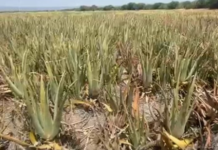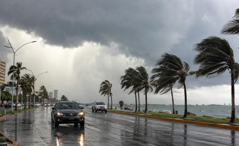

The weather in Tamaulipas today, Thursday, August 13, will be marked by very high temperatures, strong winds, and a possibility of heavy rain in the southern part of the state, according to the National Meteorological Service (SMN).
During the morning, partly cloudy skies and mild conditions are expected in much of the region. As the day progresses, temperatures will rise, with hot to very hot conditions in the afternoon, accompanied by increasing cloud cover.
One of the most important aspects of today’s forecast is the possibility of heavy rain in southern Tamaulipas, potentially accompanied by thunderstorms and hail. Strong wind gusts of up to 70 kilometers per hour are also expected in different areas of the state.
What temperature is expected this Thursday in Tamaulipas?
The SMN forecasts maximum temperatures between 40 and 45 degrees Celsius in western Tamaulipas, where the heat wave will continue. These values specifically apply to that region and do not mean that every municipality in the state will reach the same temperatures.
For the rest of the state, conditions are expected to remain hot to very hot during the afternoon. Cloud cover and rainfall in some areas do not necessarily mean temperatures will drop significantly, as both conditions can occur during the same day.
According to the official forecast, the heat wave will persist in western Tamaulipas, making that area the one facing the most intense temperatures.
Which areas of Tamaulipas will receive the most rain?
Unlike previous days, when the forecast mainly called for showers, this Thursday the SMN expects showers with locally heavy rainfall in southern Tamaulipas.
Expected rainfall totals are between 25 and 50 millimeters in areas where the heaviest precipitation develops. This does not mean the entire southern region will receive the same amount of rain or that precipitation will continue throughout the entire day.
The rainfall may be accompanied by thunderstorms and possible hail. Heavy precipitation could also cause rising river and stream levels, landslides, flooding, waterlogging, and reduced visibility.
For this reason, people traveling by road or participating in outdoor activities should consider that conditions may change rapidly in areas where thunderstorms develop.
Could there be hail this Thursday?
Yes, there is a possibility. The SMN forecast indicates that rainfall in the region may be accompanied by hail and thunderstorms.
However, this does not mean hail will occur throughout Tamaulipas. It will depend on the development of individual storms and atmospheric conditions in each area.
What will the wind be like in Tamaulipas?
Wind will be another important factor in today’s weather. East and southeast winds of 30 to 40 kilometers per hour are expected, with gusts reaching 50 to 70 kilometers per hour in different parts of the state.
The SMN warns that strong gusts could cause trees and advertising signs to fall, so precautions will be particularly important when strong winds coincide with rain or thunderstorms.
What will the humidity be like?
The regional forecast consulted for this Thursday does not provide a single humidity percentage for Tamaulipas.
Humidity can vary considerably between municipalities and regions, so establishing one general figure for the entire state would not be accurate without consulting specific measurements or forecasts for each location.
Source: msn